Detections of H5 bird flu on Australian shores reinforce the need for continued surveillance, preparedness and prompt reporting of sick or dead wild birds and wildlife.
As part of Victoria’s ongoing surveillance efforts, DEECA is using a helicopter-mounted high-resolution and thermal imaging camera to scan coastal areas and identify possible H5 bird flu cases.
Flights began in July, with initial operations focused on Victoria’s south-west in response to the detection of H5 bird flu in Robe, South Australia, near the Victorian border.
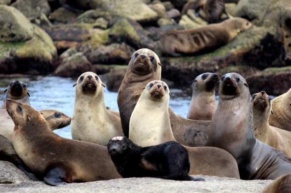
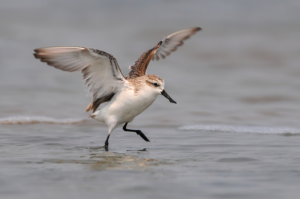
Crews have also monitored areas known to support large seal and seabird colonies, including Mud Islands, Phillip Island, Western Port, Port Phillip Bay and the Gippsland coast.
DEECA Chief Biodiversity Officer James Todd said the aerial surveillance operation complements on-ground monitoring in high-risk areas where migratory birds are most likely to arrive.
“Any immediate evidence, such as a significant number of seal or bird deaths, will be communicated from the aircraft to our wildlife teams for rapid response.
If H5 bird flu becomes established in wildlife, control options will be limited and response priorities will focus on surveillance, reducing spread where practical, protecting high-risk species, supporting animal welfare and maintaining public safety.
Our best early warning system for H5 bird flu remains the Victorian community, and we encourage everyone to stay alert and report any suspected cases.” - DEECA Chief Biodiversity Officer James Todd
To learn more about how Victoria is preparing for H5 bird flu and how you can help, visit the Department of Energy, Environment and Climate Action's H5 bird flu information page.
Page last updated: 28/07/26